

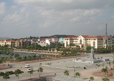
Bac Ninh
Geography
Bac Ninh is located in the Red River Delta region. It is surrounded by Bac Giang to the north, Hung Yen to the south, Hai Duong to the east, and Hanoi to the west. The topography is quite flat with a complex network of rivers and springs, including Cau, Duong, and Thai Binh rivers.
Climate
The province has moon soon weather, cold winter. The annual average temperature is 24oC. The highest one is 30oC in July; the lowest one is 15oC in January. The annual average rainfall is 1,400mm3- 1,600mm3. The rainy season lasts from May to October and the dry season lasts from December to April next year.
Tourism
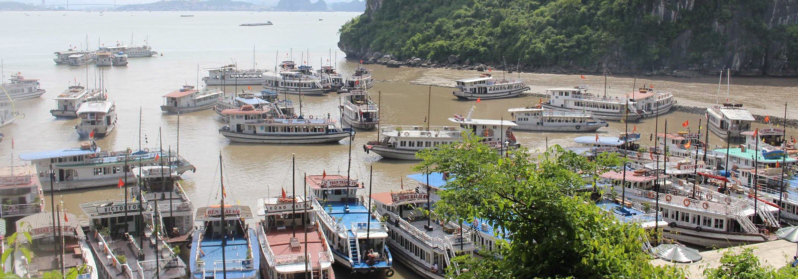
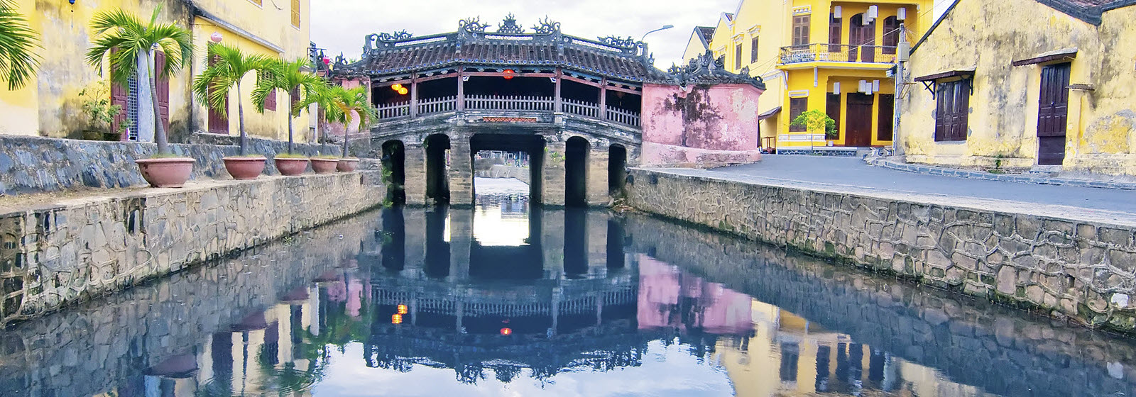
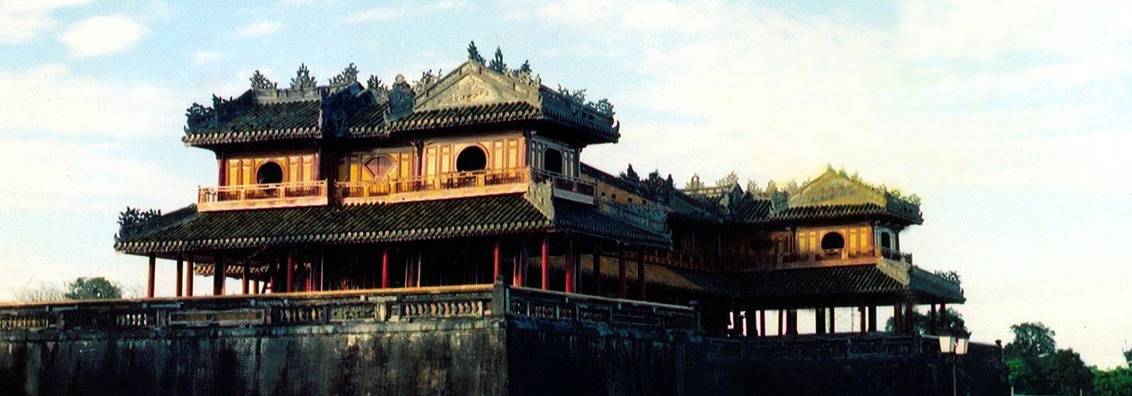
Bac Ninh used to be an ancient town, a trade centre of Vietnam from 2nd to 10th century. Buddhism penetrates into there early and flourished on Ly dynasty.Bac Ninh has tangible and intangible culture heritage. Many pagodas and temples were built such as Phat Tich, Dau, But Thap pagodas, Dinh Bang Communal House, Do Temple. Bac Ninh is cradle of Quan ho folk-song. The popular festivals take place in many pagodas, temples and communal houses, especcially they usually are orgazed in spring. Bac Ninh has some tradition handicraft villages such as Dong Ky Wood, Dong Ho Pain, Dai Bai Bronze, Phu Lang Pottery.
Transportation
Bac Ninh is 30km from Hanoi, 110km from Haiphong, 20km from Bac Giang, 45km from Noi Bai International Airport. It is on the National Highway No.1A, 18, 38.