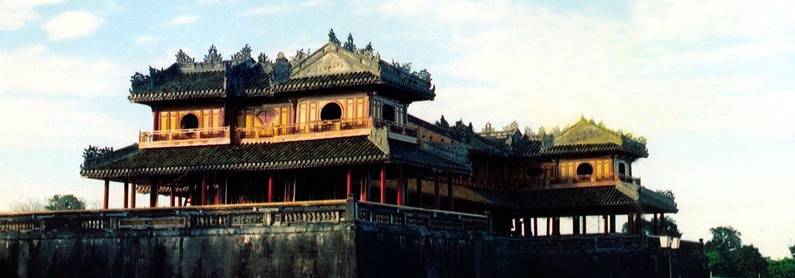
Lai Chau

Geography
Dien Bien Province is on the North - West Vietnam. It is next to Lai Chau, Son La provinces, Laos and China. The province has many mountains stretching along north-west and south-east direction. Muong Thanh Valley is largest one of this region. The topography includes forests, high mountains, narrow valleys, small plains, and springs.
Climate
Dien Bien is mountainous tropical area. There are the dry and the rainy seasons. The average temperature is about 21 - 23oC.
Tourism
Dien Bien possesses charming natural scenery such as Pa Khoang Reservoir, Tham Bang Cave, Ban Phu Citadel, museum of Dien Bien Phu Victory.
Dien Bien is also proud of many historic sites: Noong Nhai Vestige, Muong Phang Forest, especially, Dien Bien Phu Vestige with a global well-known victory in 1954.
Traveling from Hanoi to Dien Bien Phu, it takes 1 hour by plane. But by road, travelers go over kilometers of mountainous road and cross Pha Din Pass. The stretch of road goes uphill and downhill alternately with many sharp bends. It is a memorable event for everybody in this superb mountain.
Transportation
The network of road is convenient include:- It takes 478km from Hanoi following National Highway No. 6 to Tuan Giao and then the 279 to Dien Bien Phu.- It is 195km from Dien Bien Phu to Ma Lu Thang border gate (Lai Chau) following National Highway No. 12.- The National Highway No. 279 links Tuan Giao to Tay Trang border gate vise Dien Bien Phu.
Beside that, there is Muong Thanh Airport in Dien Bien Phu, connecting Ha Noi - Dien Bien Phu.
Your browser does not support inline frames or is currently configured not to display inline frames.


